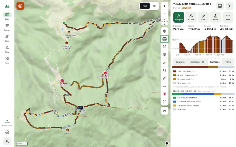
How to See the Elevation Profile of Any Hiking or MTB Trail (Free, No Account)
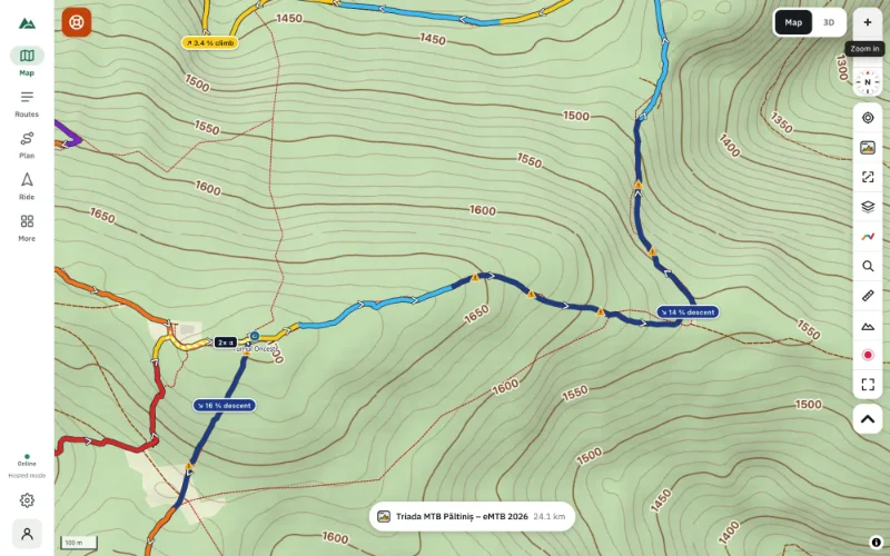
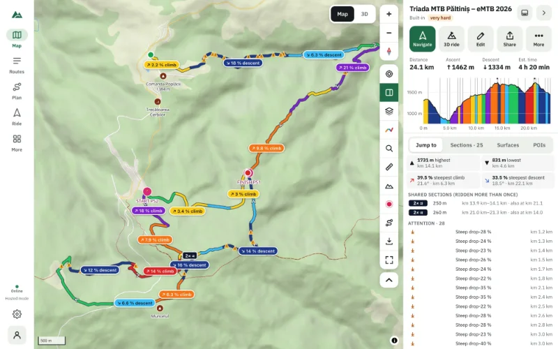
Open a GPX file or draw a route and get its elevation profile in seconds — climbs, descents, gradients and total ascent, free in your browser, no account.
The TrailScout blog
Step-by-step guides to elevation profiles, gradients and climbs, 3D route previews, route planning, GPX files, turn-by-turn bike navigation and riding offline — with screenshots of every step.
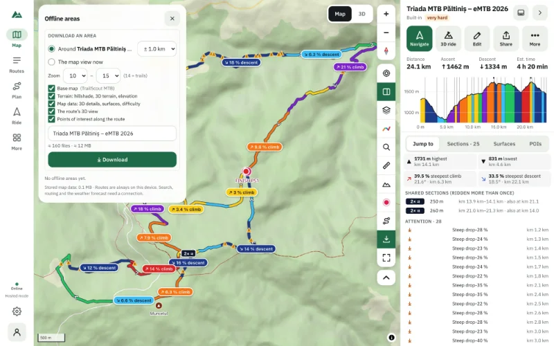
Open a GPX file or draw a route and get its elevation profile in seconds — climbs, descents, gradients and total ascent, free in your browser, no account.
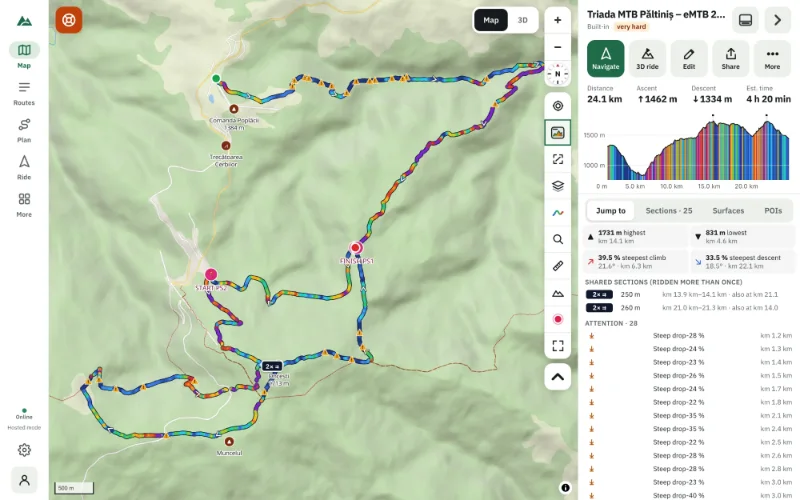
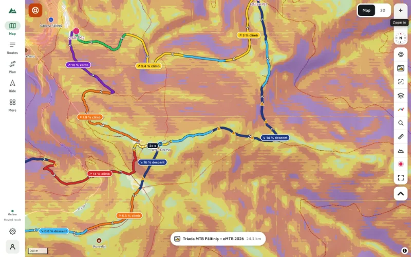
What the lines, colours and numbers of an elevation profile mean — ascent, gradient, climbs and descents — and how to judge a ride before you go.
What 5, 10, 15 and 20 % gradients feel like on a mountain bike, how percent compares to degrees, and how to spot a route's steep parts before you ride.
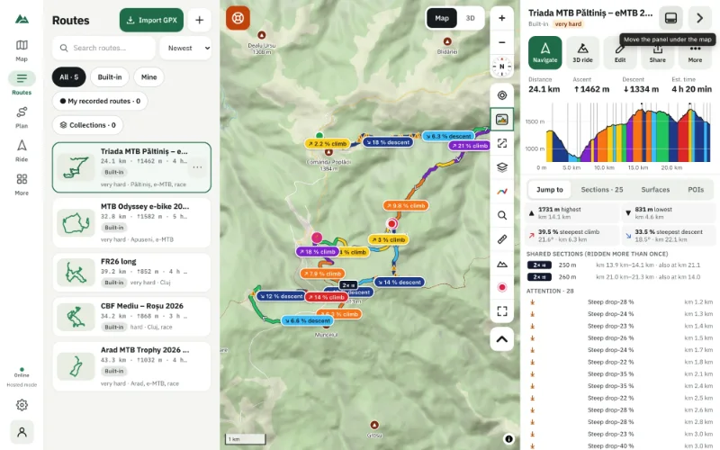
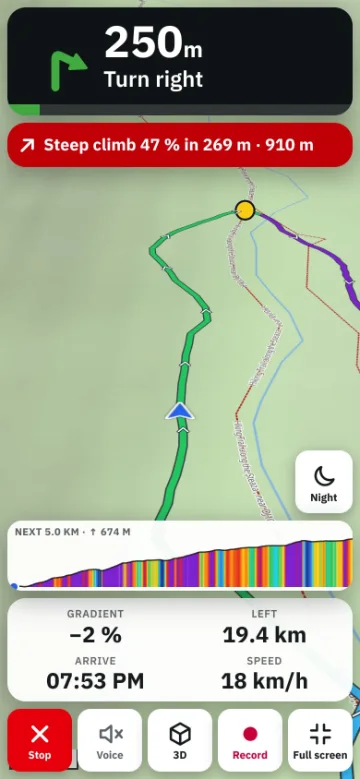
List every climb and descent of a bike route with its length, height and gradient, see the climb categories, and get warned before each one while you ride.
Turn on slope shading to see where the mountainside is gentle, steep or very steep — and why it matters for trail choice, pushing the bike and safety.
Contour lines explained for hikers and mountain bikers — spacing, intervals, ridges, valleys and saddles — and how to turn them on in a free online map.
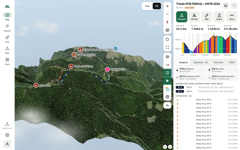
See your route on real 3D terrain with satellite imagery, forests and buildings, the sun where it will be on the day and the forecast weather.
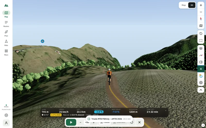
Watch a rider take your route in 3D at the speed your legs would — slower on climbs, faster downhill — with follow and cinematic cameras and live numbers.
When a flat map is enough, when a 3D view shows what a map can't — and how to use both together to plan mountain-bike and hiking routes.
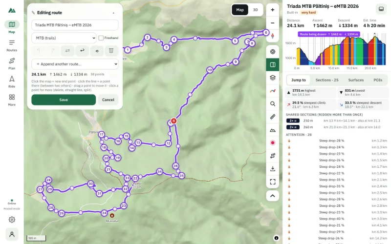
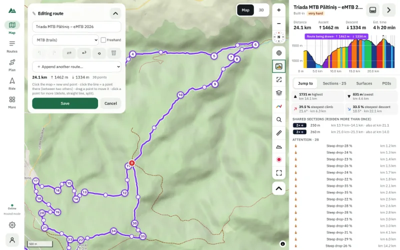
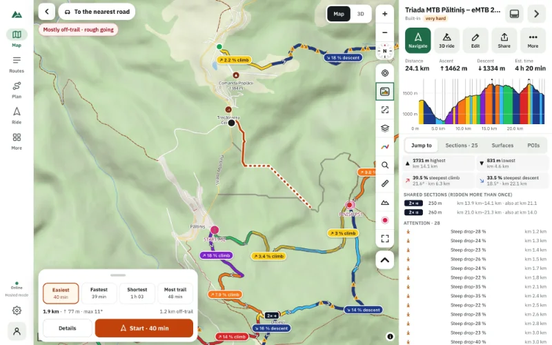
Click the map point by point and the line snaps to trails, tracks and roads. Pick an MTB, gravel or hiking profile, draw straight lines where needed, save.
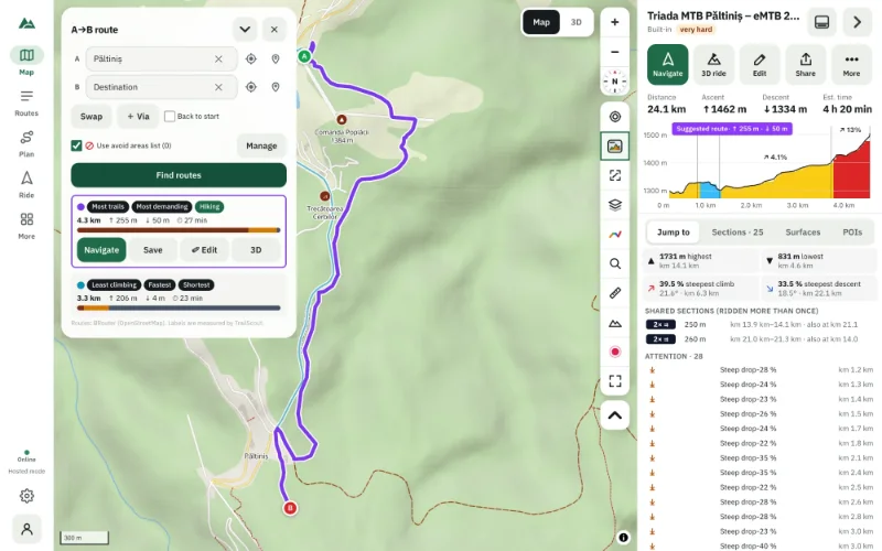
Enter a start and a destination and compare route suggestions — most trails, least climbing, fastest, shortest — with distance, climbing and time.
Plan a long route, split it into days at towns and huts, check water, weather and climbing per day, take it offline and record each day into one trip.
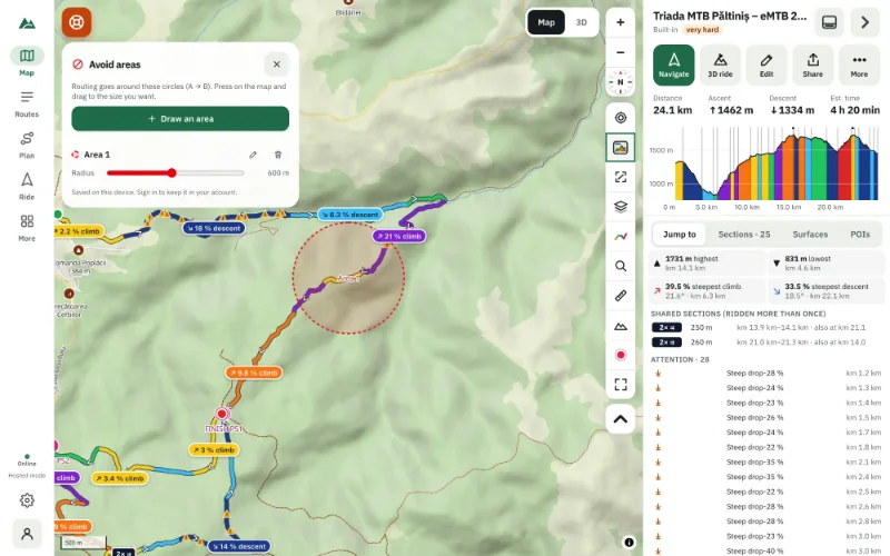
Draw avoid areas on the map — circles that route suggestions go around — and choose routing profiles that prefer trails, bike paths and quiet roads.
Judge a mountain-bike route by its fitness difficulty, its S0–S5 technical grade, its surfaces and its danger spots — before you ride it.
Drag a GPX file into your browser and see the route on a map, its elevation profile, climbs, surfaces and a 3D flyover — free, private, no upload.
Change an imported GPX route on the map: move points, add legs that follow trails, trim, reverse, split or merge — and keep every earlier version.
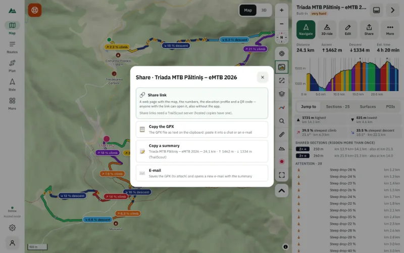
Download any route as a GPX file, send it with the share sheet, copy it to the clipboard, or back up your whole library with a GPX of every route.
Download the map, terrain, 3D view and points of interest for a route corridor or a map area, so TrailScout and Bike GPS work with no signal at all.
Emergency mode finds the easiest way to your course, the nearest road, a hut or a village — offline, from the map data on your phone — and guides you.
A pre-ride checklist for remote MTB and hiking routes: difficulty, daylight, weather, water, bail-outs, offline maps, battery and live location sharing.
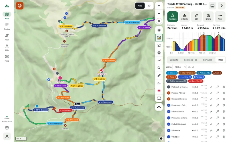
List every spring, hut, shelter, bike shop, repair station, food stop and gate near your route — with the km where you reach each one.
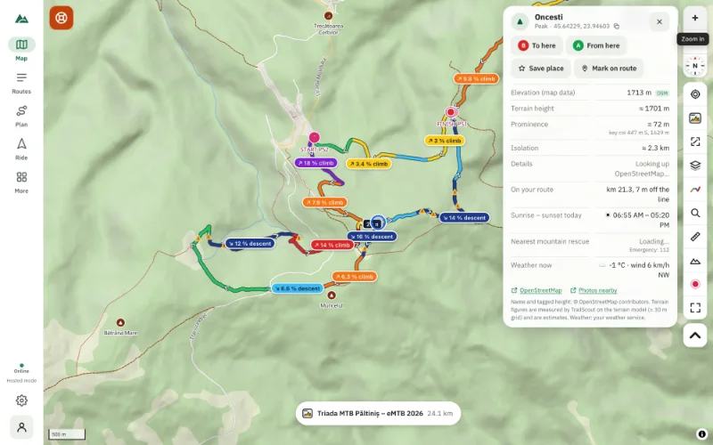
Tap a peak for its height, prominence and isolation, sunrise and sunset and the weather; tap a viewpoint for its panorama and the peaks in view.
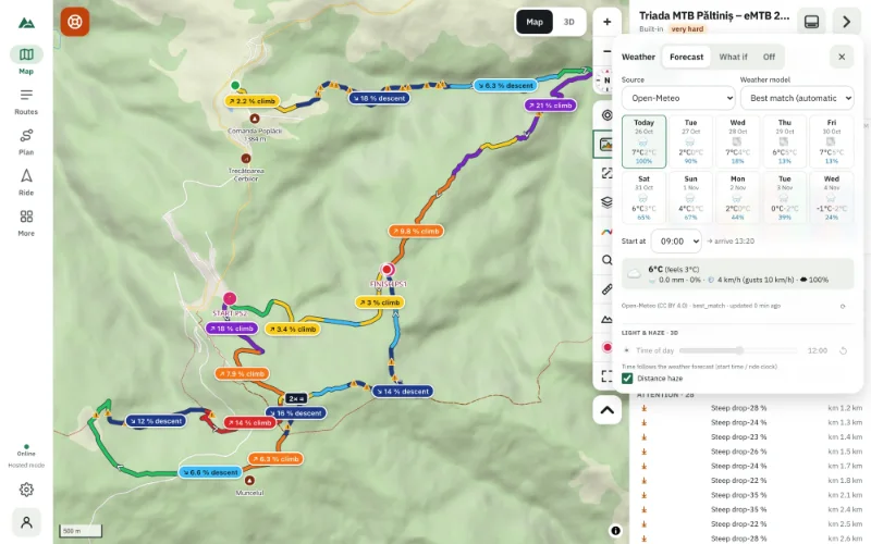
The forecast for every part of your route at the time you reach it — temperature, rain, head or tail wind, gusts — with storm, cold and darkness warnings.
Find sunrise and sunset for any peak and the golden hour at viewpoints, see the sun in 3D, get warned before dark, and let Bike GPS go to night mode.
Keep favourite spots in lists — trailheads, springs, cafés — and group routes into collections you can open on one map, on your device or in your account.
Why your routes and home location should stay on your phone, and how TrailScout works without accounts, cookies or tracking. What optional lookups send.
No article matches — try another word.